If you’ve driven Route 66 from Ash Fork to Walapai, you’ve been within 15 miles of the westernmost section of Arizona’s portion, which includes Kingman and Oatman.
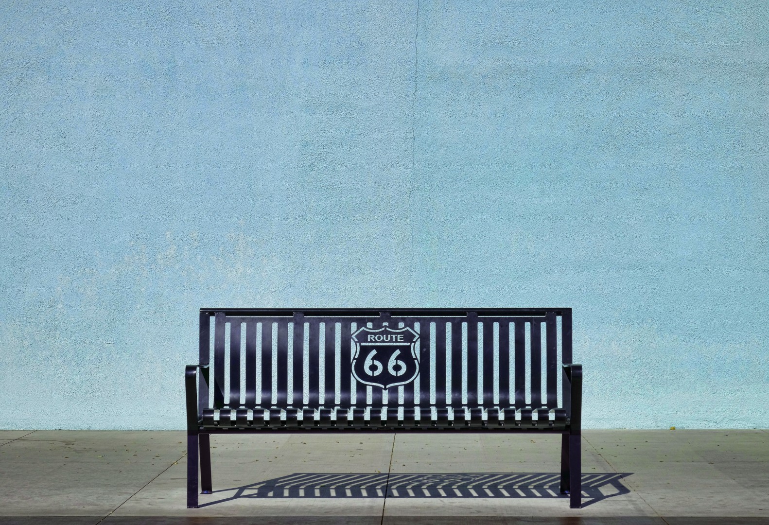
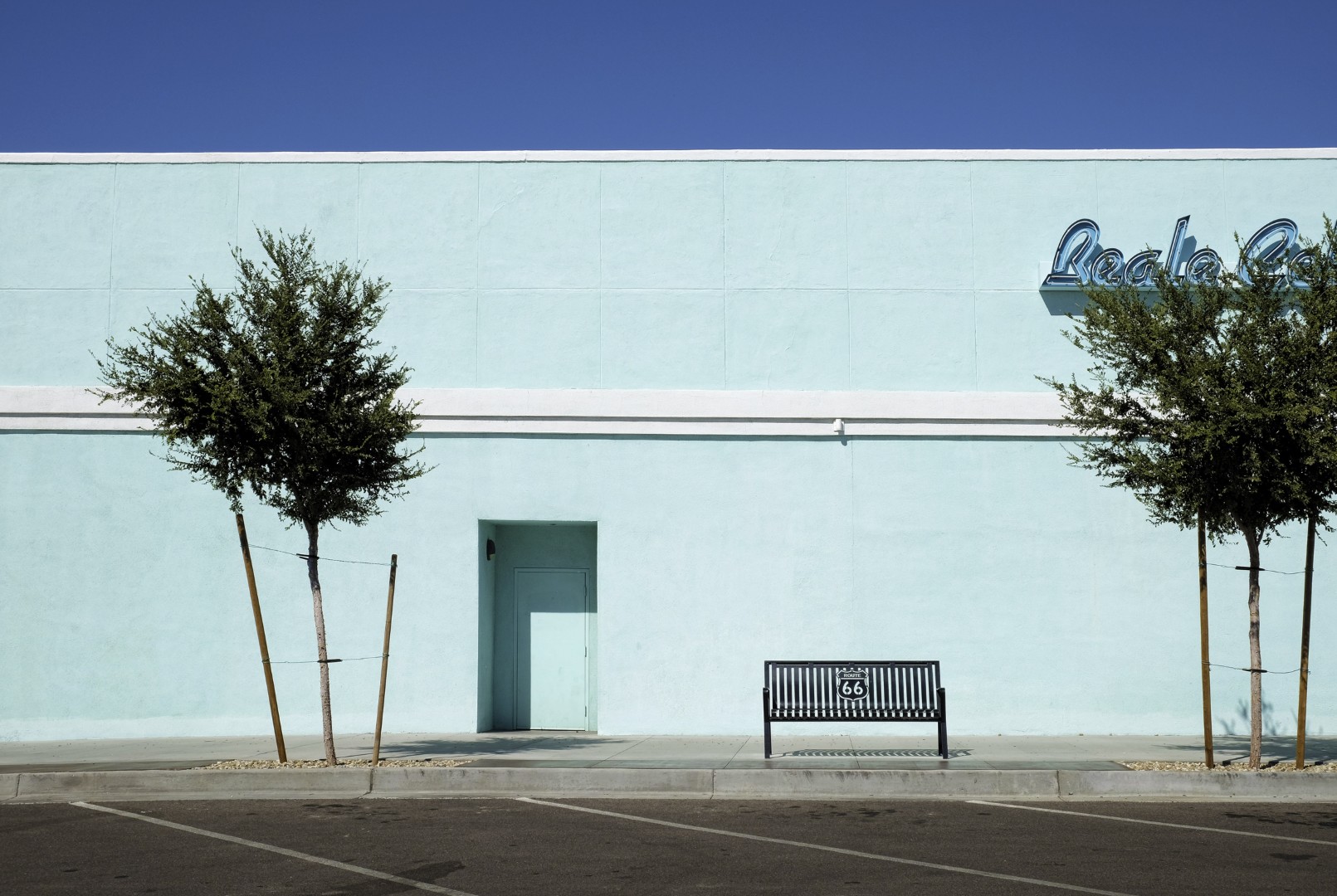
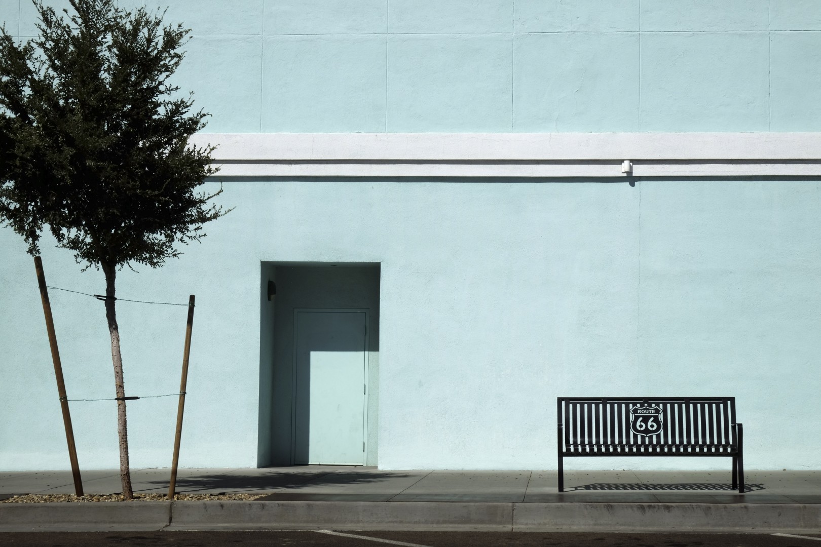
Kingman has about half the population of the next largest city on the route, Flagstaff. There’s Route 66 signage all over the place, but the most recognizable sights can be found on Beale and Andy Devine streets. Unlike Seligman, Kingman isn’t entirely reliant on Route 66 tourism, but there are plenty of ‘selfie locations’ where you can shoot a picture that shows your friends, “I’m on Route 66 and you’re not!”
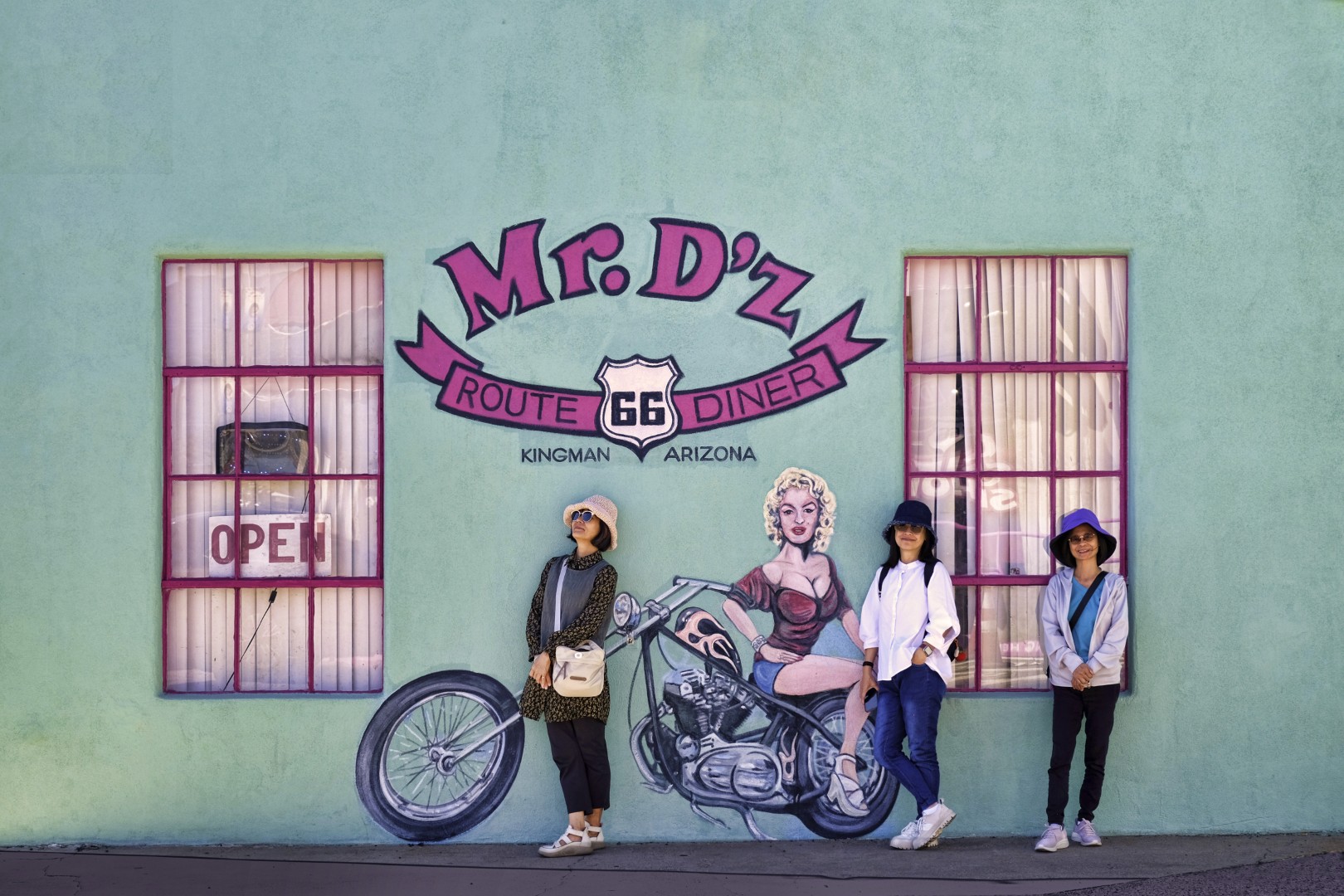
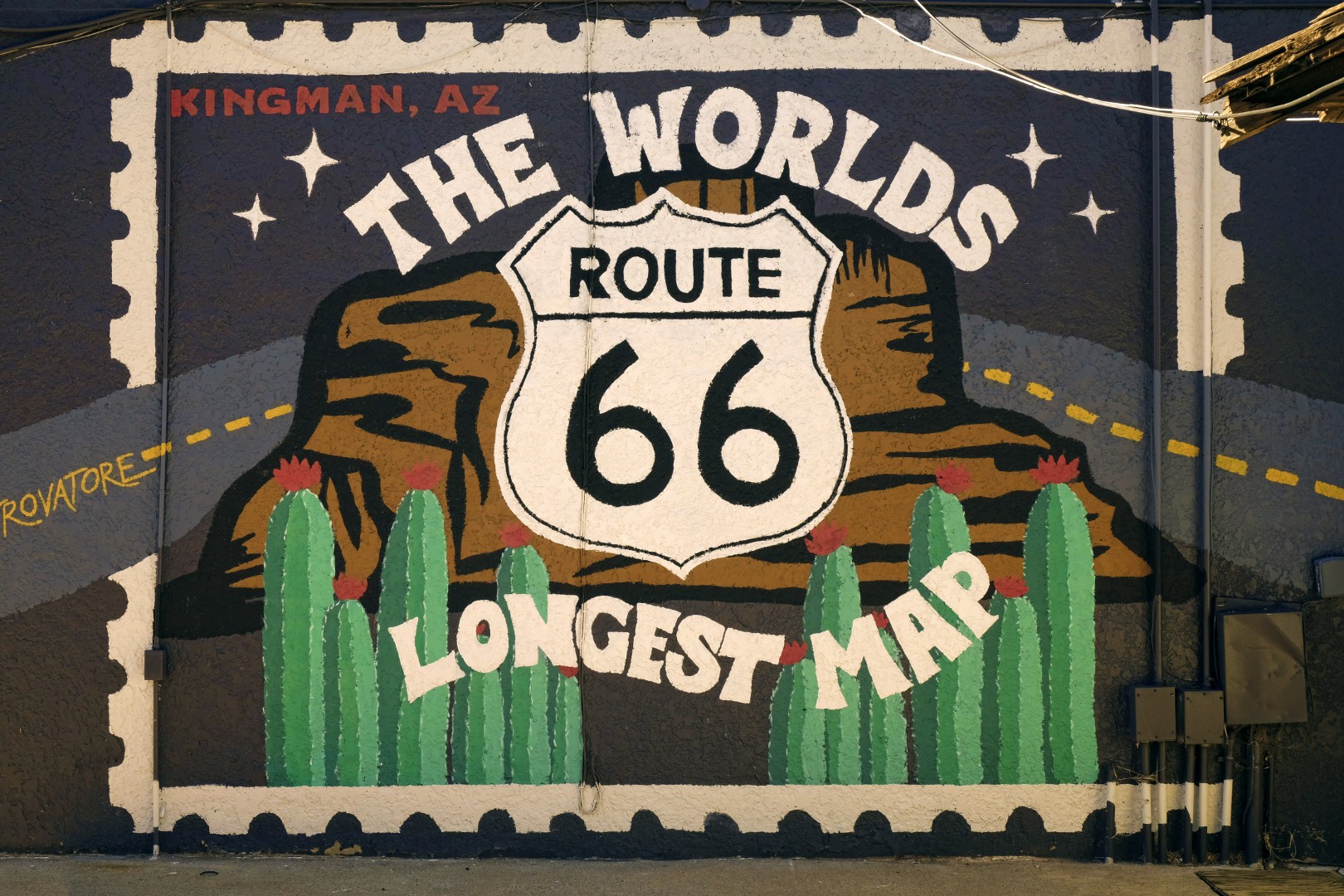
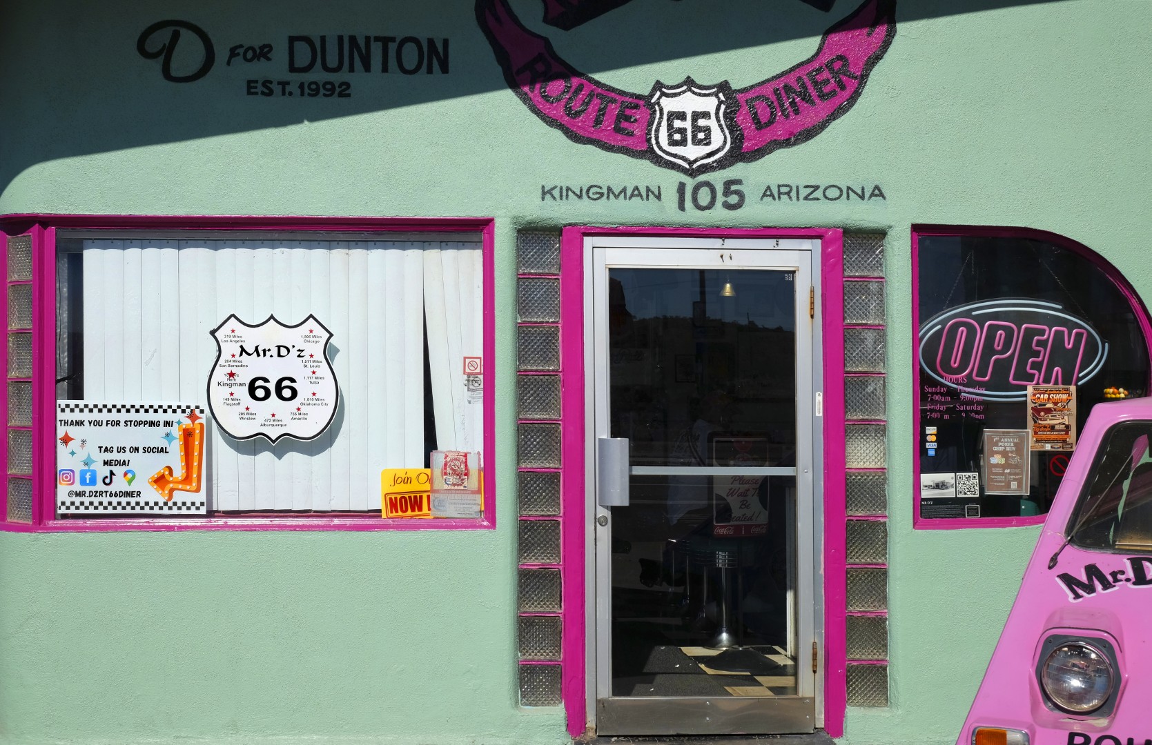
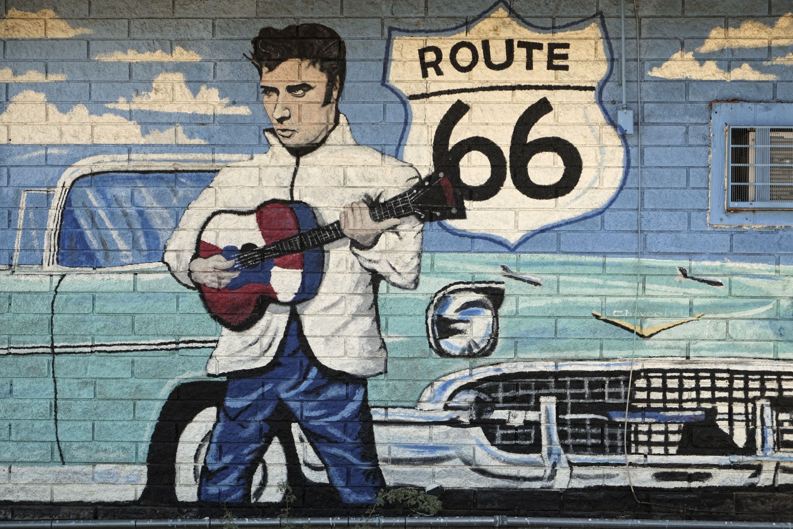
Here we find a vast collection of Route 66-themed diners and independent motels, many adorned with modern (and some very old) murals depicting the adventure of ‘The Mother Road.’ Begin your visit at the Kingman Visitor Center and Route 66 Museum and Gift Shop. Right next to the Visitor Center sign is the Route 66 Drive-Thru Shield, where you can park and jump out of your car long enough to get a cool photo of the family to prove You Were There. The Railroad Museum and Locomotive Park is a must-see, along with the mural on its historic water tanks and the Welcome to Kingman Arch. Elvis is well-represented on many murals. On the El Trovatore Motel you’ll find the longest map of Route 66. And Mr. D’z Diner and Rutherford’s Family Diner are a couple of sources of local Route 66 flavor.
Once you’ve spent some time in Kingman you can head over to the Oatman Highway section of Route 66, which is about thirty miles of old, rough, narrow road. If the sign near the corner says 10mph, pay attention, it’s not a fast or smooth road. Go 10mph. If you’re on a motorcycle you’ll want to be in ‘cruise’ rather than ‘sport’ mode. The road is literally the middle of nowhere till you get to Oatman, which is a slightly more populated patch of the middle of nowhere.
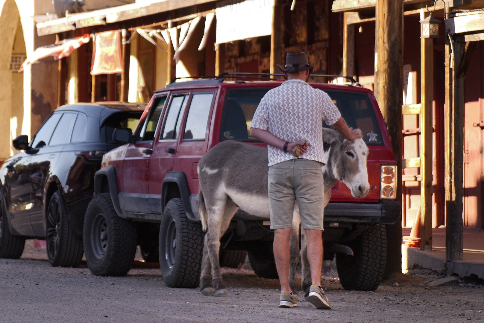
Oatman is a very small, old, dusty Western town populated mostly by burros. In 1906 the town was home to about 10,000 gold miners; by 1942 the mining had transitioned to copper, lead and zinc for the war effort. Oatman is an authentic backdrop for Western movies and was the location for How the West was Won. There are over forty merchants, souvenir, jewelry and antique shops, restaurants and bars.
When the miners left they abandoned their burros, who have now reproduced to where they’re the most prevalent occupants of the town. They’re all friendly, they block traffic, beg for food and poop wherever they want. Watch your step!
I was in no mood to turn around and backtrack the Oatman Highway to Kingman, so I drove thirty more miles to spend the night in Laughlin. By this time I needed food, a cocktail and to donate some cash in a slot machine, and I did all three!
Leaving Laughlin the next day, rather than do the boring, straight-line drive on I-40, I took Route 66 back through Walapai, Hackberry and Peach Springs. I picked up some extra photos along the way and had a great lunch at The RoadKill Café in Seligman. I was still home in Prescott by early afternoon.
A few final takeaways: I drove the 385 miles of Arizona’s Route 66 in five days. From Prescott, the Seligman and Flagstaff/Williams sections can be done in one day each. I did too many miles to the New Mexico state line and back to Prescott to photograph the eastern portion in one day. If I were to do it again, I’d add a day, overnight in Winslow and spend a little more time in the area.
After that experience I took two days to photograph the western section, doing Kingman and Oatman in one day, and then taking a more leisurely drive home the next day. If this were a family adventure, I’d take four weekends to do it — it’s not fun getting to your destination exhausted.
Route 66 was only decommissioned forty years ago. Almost immediately after the new highways replaced it, many businesses failed from lack of customers and tourists, with all the new gas stations and other attractions popping up along the newer, faster route stealing what had been their livelihoods.
Since Route 66 was ‘decommissioned,’ maintenance ceased, and the road decayed rapidly. So there are un-driven sections of rough road with no attractions where you wouldn’t want to drive. On other sections there are small towns and attractions that still thrive, but not like the old days.
Driving on old Route 66 is a retro-adventure that’s not going to last long. What will Route 66 look like in another forty years? Will it still even exist in a hundred years, even on maps? Probably not. The few remaining successful businesses could easily be bought out and replaced with ‘modern reproductions’ of what once was. It might look ‘vintage,’ but it also could be completely fake. Route 66 could conceivably become 2,448 miles of a Disney-like nostalgia tour.
While it’s still here, I’d rather experience the Real Thing. Old Route 66 is true Americana.
